
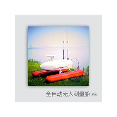
Automated unmanned survey ship system is a kind of high precision sensing equipment, which takes rivers, lakes, coasts, harbours, reservoirs and other waters as the object, takes unmanned ship as the carrier, integrates GNSS system, gyroscope, sonar system, ADCP, CCD camera, underwater camera and so on. Using navigation, communication and automatic control software and equipment, real-time receiving, processing and analyzing the data collected by the UAV system on the shore, and operating and controlling the UAV and other sensors in the way of automatic control and remote control.
New Product Technology
1. For the first time in China, the method of intelligent operation of unmanned aerial vehicle is used to survey and measure water area.
2. Work Automation and Regression Automation
3. Extensibility of space, structure and function
4. Compatibility of Data Output Format
5.2-30 km ultra-long distance wireless communication
Product characteristics
1. Security
Unmanned remote control survey, shoal, dangerous area to ensure the safety of personnel and ships.
2. Efficiency
All the equipments are fully automatic controlled, which greatly reduces the manual workload and improves the efficiency.
3. Convenience
The whole set of equipment together is only 48 kilograms, a person can easily handle, transport and installation is simple.
4. Intelligence
All equipments are highly integrated, no installation is required, and the work is coordinated automatically.