
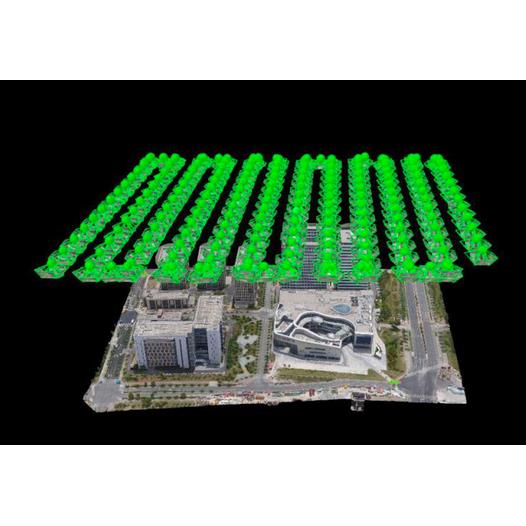
Burberry Drone Tilt Photography System+High accuracyPPKReceiver module+The UAV route planning software (Bercow Zhifei), developed by Burberry Technology, is used to capture data and post-production 3D models, with a general process:
Site survey: Understand the situation on the ground and determine the area and route of the drone flight;
Collecting data: Set up a flight route
3D modeling: Import the captured data into the modeling software for 3D modeling processing;
Measurement accuracy: Measured by 3D model skewed from the size and geographical location of the field.